| Day 1 Outlook | Day 2 Outlook | Day 3 Outlook | Days 4-8 Outlook |
|
||

|
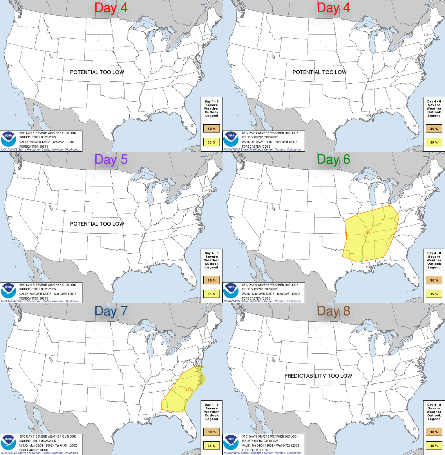
| Day 4-8 Severe Weather Outlook. A depicted severe weather area indicates a 30% or higher probability for severe thunderstorms within 25 miles of a point. |
| D4 | Sun, Apr 19, 2026 - Mon, Apr 20, 2026 | D7 | Wed, Apr 22, 2026 - Thu, Apr 23, 2026 |
| D5 | Mon, Apr 20, 2026 - Tue, Apr 21, 2026 | D8 | Thu, Apr 23, 2026 - Fri, Apr 24, 2026 |
| D6 | Tue, Apr 21, 2026 - Wed, Apr 22, 2026 | (All days are valid from 12 UTC - 12 UTC) | |
PREDICTABILITY TOO LOW is used to indicate severe storms may be possible based on some model scenarios. However, the location or occurrence of severe storms are in doubt due to:
|
| POTENTIAL TOO LOW means the threat for a regional area of organized severe storms appears highly unlikely during the entire period (e.g. less than a 30% probability for a regional severe storm area across the CONUS through the entire Day 4-8 period). |
Images courtesy of the NWS Storm Prediction Center
| Forecast Discussion |


 Scan Me With Your Phone's Bar Code Reader App


